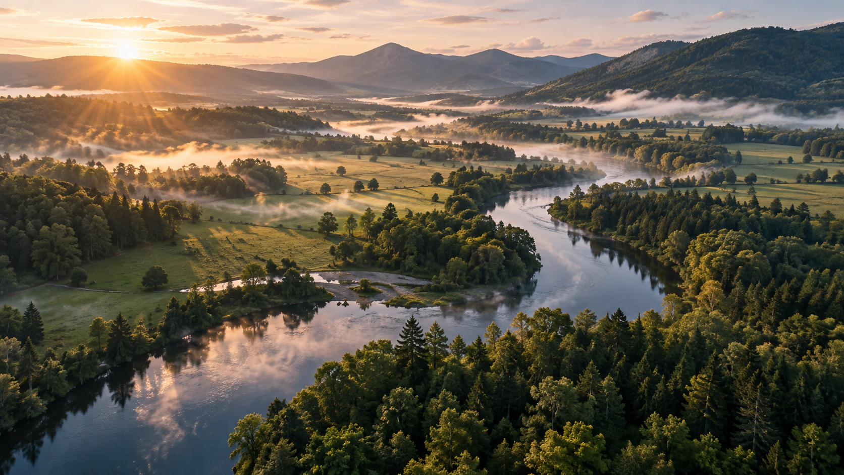
Read the landscape.
Satellite imagery and USGS topographic layers give your ideas a geographic foundation.
Plan your property with interactive topographic maps. Bring roads, boundaries, structures, and your next big idea into one extraordinary view.
Discover what’s possibleYOUR NEXT CHAPTER STARTS HERE
Your land. Your vision. Your private planning space.
Password-protected access
FROM BIG PICTURE TO BETTER PLAN
Explore the terrain. Sketch your ideas. Compare the possibilities before you break ground.
Satellite imagery and USGS topographic layers give your ideas a geographic foundation.
Place structures, trace roads, outline lots, and align reference images directly on the map.
Explore layout alternatives side by side, measure your plans, and recover earlier versions.
Planning estimates, not a certified survey. Plans save locally in your browser.
Your region awaits